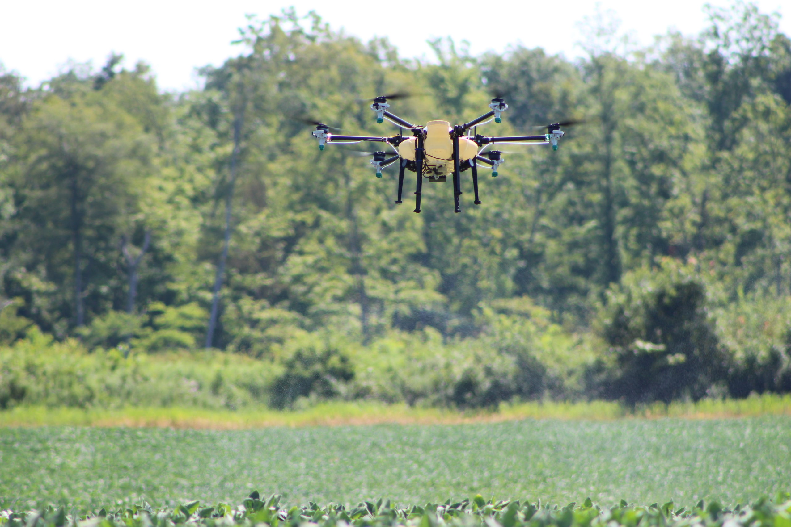
Ohio's first FAA certified UAV pesticide applicator!
Certification completed in October of 2019.
For more information e-mail
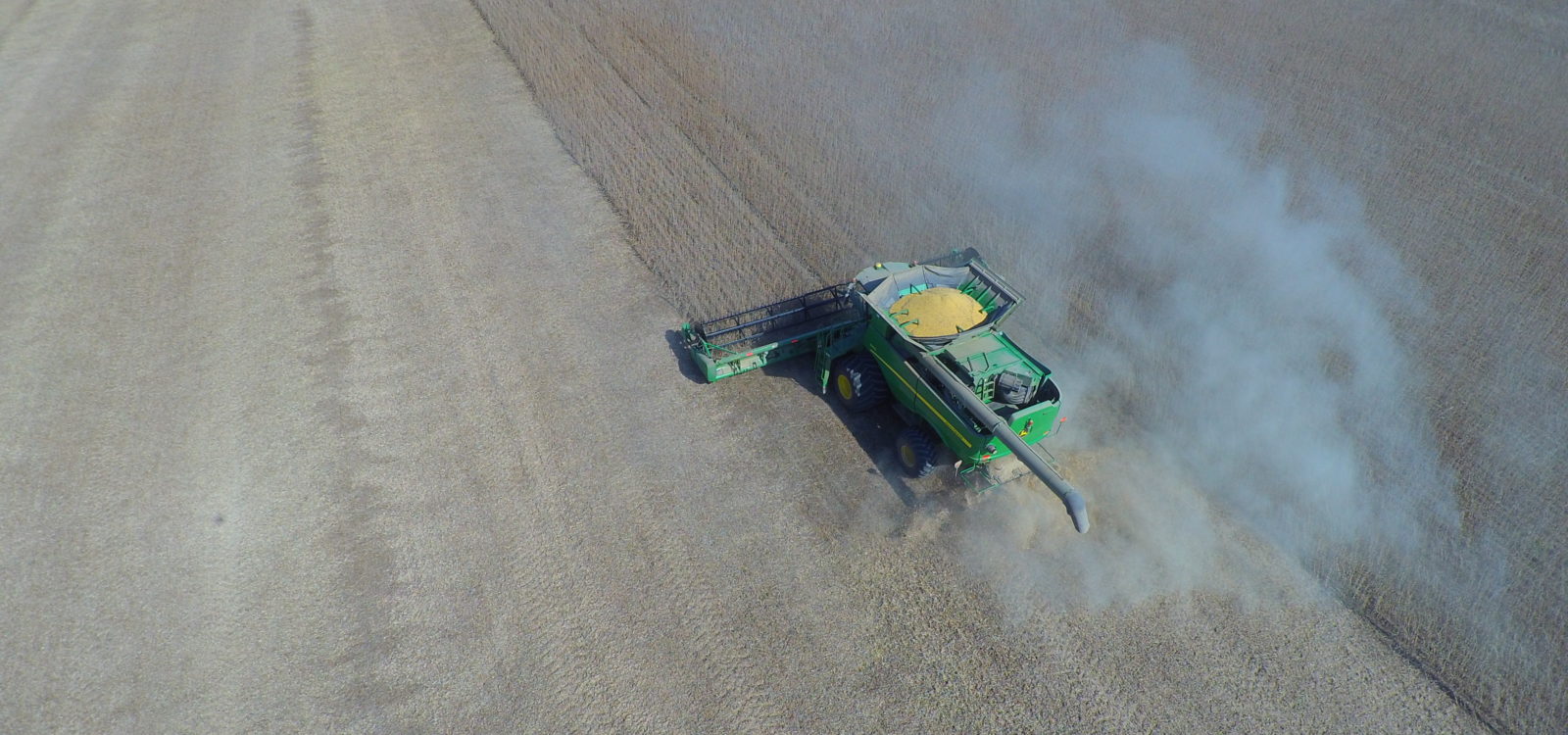
Understand your acreage.
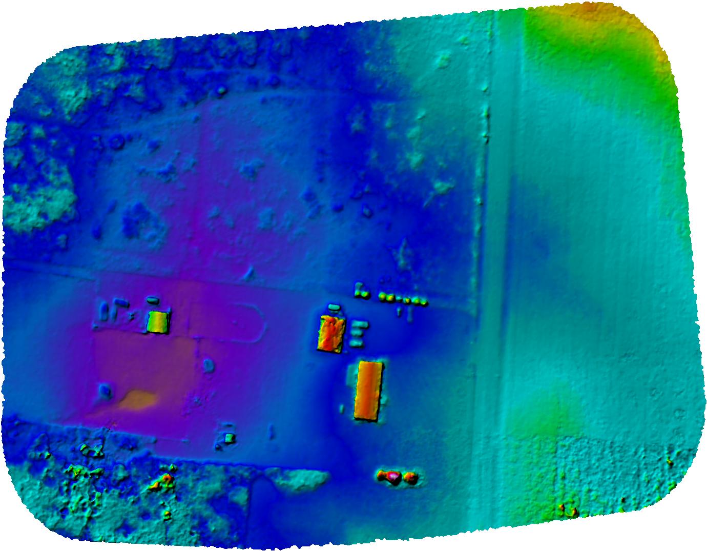
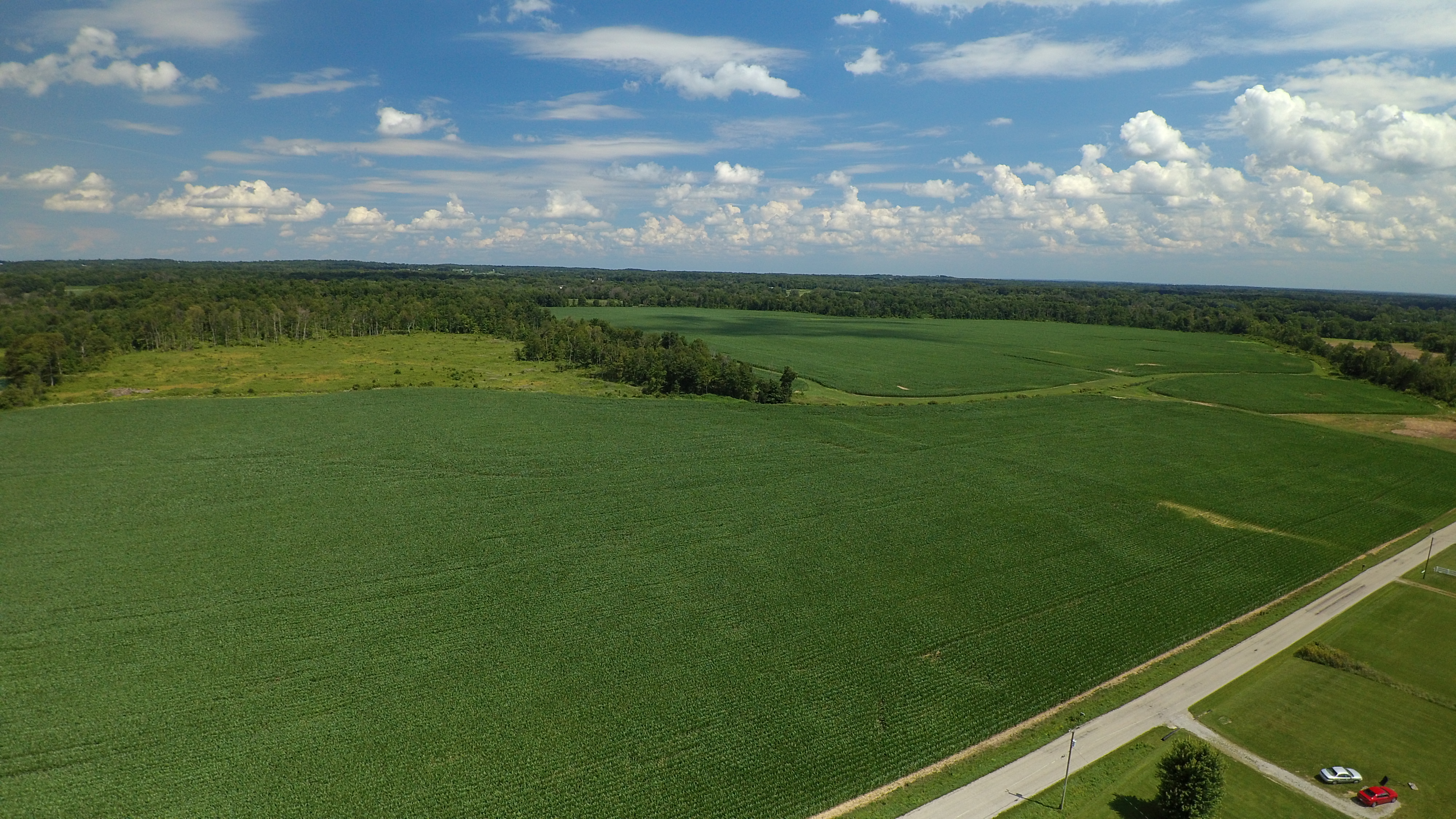
Having the most accurate data to work from can greatly increase the profitability of your hard work. Mapping your fields can help find drainage issues and guide your equipment with better accuracy.
RGB Mapping
The data acquired from an RGB camera can give you large amounts of data to work with. Not only can you get elevation data but overall plant health as well. So that problems can be fixed well before they become an issue.
Its your data
The data acquired from a drone can be used over and over.
Once you have a general map it can be used many times over.
Request more information
To see how drones can help improve your overall performance.
